/prod01/prodbucket01/media/durham-university/departments-/geography/Matt_Couchmann-3872X1296.JPG)
Evidence-based catchment management with SCIMAP
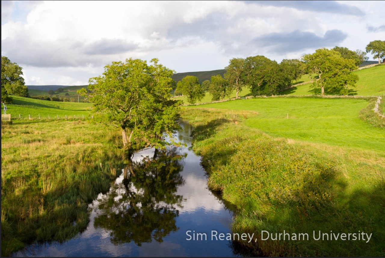
Degraded water quality and floodwaters pose a significant threat to both people and ecology. Both of these pressures result from diffuse sources across the landscape that when concentrated in rivers or lakes can become problematic. To better understand diffuse pollution in river catchments, Durham researchers developed a model called SCIMAP (Sensitive Catchment Integrated Modelling And Prediction: https://scimap.org.uk). SCIMAP provides a framework to consider where in the landscape these pressures are coming from and hence where mitigation actions would be most effective. The model utilises digital elevation models, land cover maps, hydrological theory, and GIS analysis, and innovatively involves stakeholders in both the model development and its application (see: video). The outputs are maps of the relative risk of generating a ‘problem’ such as rapid runoff or pollutants at each location in a landscape, and then the likelihood of that ‘problem’ connecting to a particular river downstream and where problems may arise. SCIMAP is now employed widely to identify ‘hotspots’ that can supply pollutants, such as nitrate or fine sediment, into the river system; this knowledge is then used to support management and remediation decisions. Users of SCIMAP include the Environment Agency, which offers the model as part of its central modelling platform; all of the 46 Rivers Trusts that bring together stakeholders in every catchment in England and Wales; partners in the Catchment-Based Approach (CaBA) that provides a framework for modelling and managing all 100+ catchments in England and eastern Wales under the Water Framework Directive; and a diverse group of NGOs and companies with an interest in assessing and managing diffuse pollution.
Staff links
Dr. Sim Reaney https://www.durham.ac.uk/staff/sim-reaney/
/prod01/prodbucket01/media/durham-university/departments-/geography/fieldtrips-and-research/IMG_7372.jpg)
Impacting the World
Our research across human and physical geography addresses pressing global challenges through projects focused on delivering social and environmental benefits.
/prod01/prodbucket01/media/durham-university/departments-/geography/impact/Palace-Green-Library.jpg)
Virtual Library
Much of our research takes final form in high-impact articles or books. But a considerable amount of our activity takes place in other mediums.
/prod01/prodbucket01/media/durham-university/departments-/geography/fieldtrips-and-research/Risk-Masters-Students.jpg)
Postgraduate Study
Postgraduate study at Durham helps you to develop a range of high-level research, analytic, and communication skills that are transferable to multiple career paths. Our postgraduates are highly valued employees in government, third sector and private agencies, as well as academia.
Contact Us
Founded in 1928, the Department of Geography at Durham University is one of the leading centres of geographical research and education in the world.
Department of Geography
Postgraduate Study
Durham University
Lower Mountjoy
South Road, Durham
DH1 3LE, UK
Tel: +44 (0)191 33418000
Be social. Be informed. Be a part of Durham Geography.


